For the first 86 days of our trip we had been pretty much
travelling by the seat of our pants, not knowing where we were going to camp
that night until we decided we had better find somewhere! This had worked
pretty well but De and I decided we should try and create a bit more structure
for the boys by doing an hour of intensive schooling 1 hr per day and also
creating a one week plan. It was a bit scary but over the two days at Quagi we
had created a plan for the next 10 days with a overview of the next 20 or so
days, the last 10 mainly because the mother and sister in law are coming to
visit.
The southern beaches of WA are all magnificent and we
decided we should check a few of the more secluded ones out before heading for
the mountains of the ‘south east’. We travelled back out and along the highway
before heading back to the coastal dirt roads to have a look at Munglinup
beach. Another cracking council ‘free’ camp with a reef that ran parallel to
the beach for about 400m, 150 or 200m off the beach creating a protected lagoon
of what I call ‘mummy water’ i.e. no waves. All of a sudden I was back in Fiji
and I could easily imagine walking across the reefs at low tide casting spoons
into the waves....but not today as they were about 6 - 8ft!
We moved on and found the main reason for following the
coast road – The beginning of the Rabbit Proof Fence. We researched it and found out this was the start of Fence #1, the longest fence in the world
when it was constructed in the early 1900’s but not to be confused with Fence
#2 or #3 for that matter. #1 meets the sea somewhere up near Broome so we will
have to find it when we are up there. While it had done a great job in its day,
unlike the dingo fence, myxomatosis had rendered that wonderful piece of
Australian architecture useless and it has been left to rot ever since. I
wondered how much it would take to build a fence from Melbourne to Cairns
today!
Just down the road was Starvation Bay which was mostly
sheltered from the ‘breeze’ causing the 30 odd degrees to actually feel warm!
We made some sangas and ate them perched like shags on rocks with the water
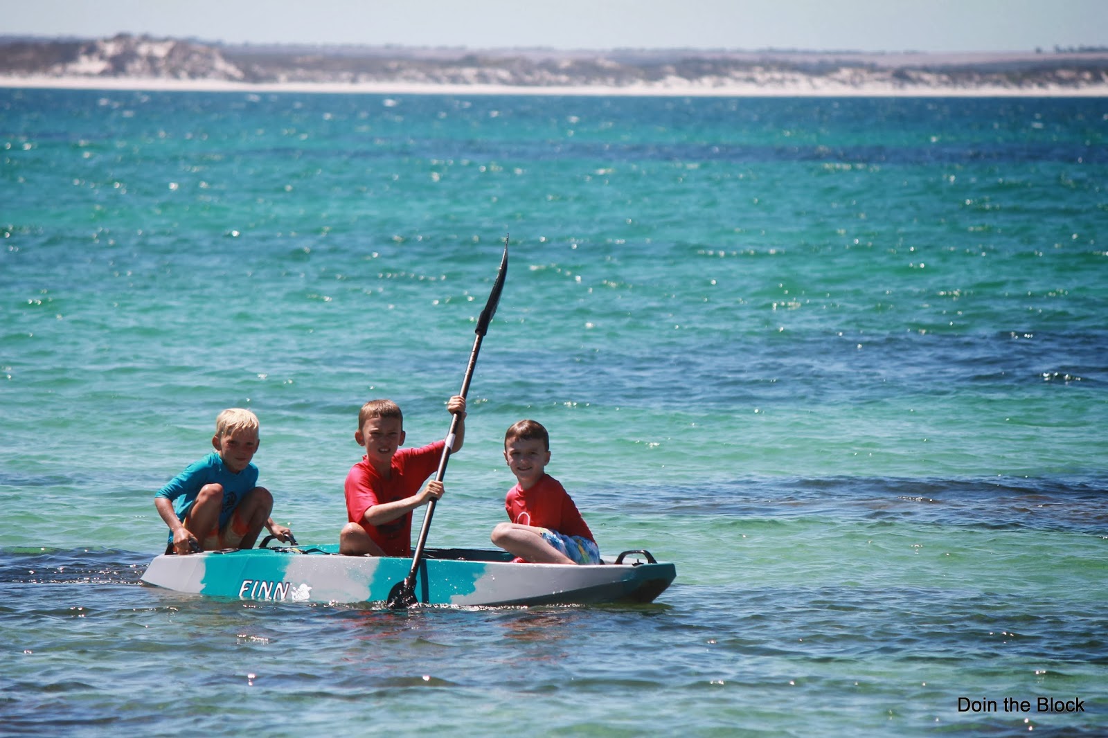
lapping at our feet. Another young local, also a Jack, was playing at the beach
and as such he soon had two new friends who together had a great time jumping
of the rocks, throwing the ball to Jack’s dog and paddling on the kayak. We
stayed in our boardies and headed to the next place, Hopetoun. We saw the
graders along the road but apparently we were there a few days early as we
shaken and stirred for 30 or 40ks.
Our optimism of staying in our boardies was
short lived as we hit the beach in Hopetoun and were frozen by the buffeting
wind. We packed up and headed for the hills aiming for The Stirling Range.
After turning at Jurramungup, on the Gnowangerup road we camped at Needilup as
ghost town just short of Ongerup - No
I’m not joking -these are real names of real towns! Pretty much every town in this neck of the woods is suffuxied
by ‘up’ which we, without any valid research, have concluded means ‘place of’. Just west of Ravensthorpe is the meridian line, a made up line where the time is supposed to officially change. The better tourist brochures said that you were supposed to kiss somebody there so I took the opportunity to have a good pash with my beautiful (and patient) wife!
Needliup is the site of an old town hall, long left to the
elements, that has been adopted by free campers like us. You are pretty much in
the middle of nowhere with about 5 cars driving down the highway between when
we arrived at about 5pm and when we left at 8am. The silence was beautiful!
There was a big dam across the highway so the boys set the pots and after
dinner we pulled them in just as dusk was spreading its pallet across the sky.
We managed to get about 6 good ones and to our amazement mozzies chased us back
to camp closing every window in desperation. During dinner Sam finally managed to loose his top right tooth so we had to put it into a tupperware container and put it outside, whilst the 4th & 5th RAAF Mosquito squadron circled overhead, for the tooth fairy as it would be hard for her to find her way inside.
We had to be on the road early
tomorrow as we had a 3 – 4 hr hike in the morning up Bluff Knoll, WA’s highest
mountain listed as medium to hard! Bring it on!
 |
| Bloody google maps has 'made its self better' but isn't overly helpful when it comes to places where the road is dirt |


Awesome picture there champ of the dam...
ReplyDelete